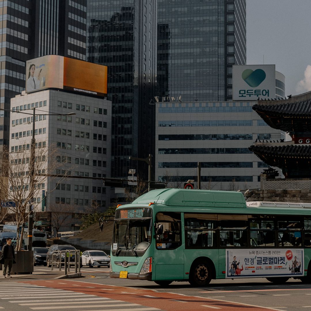
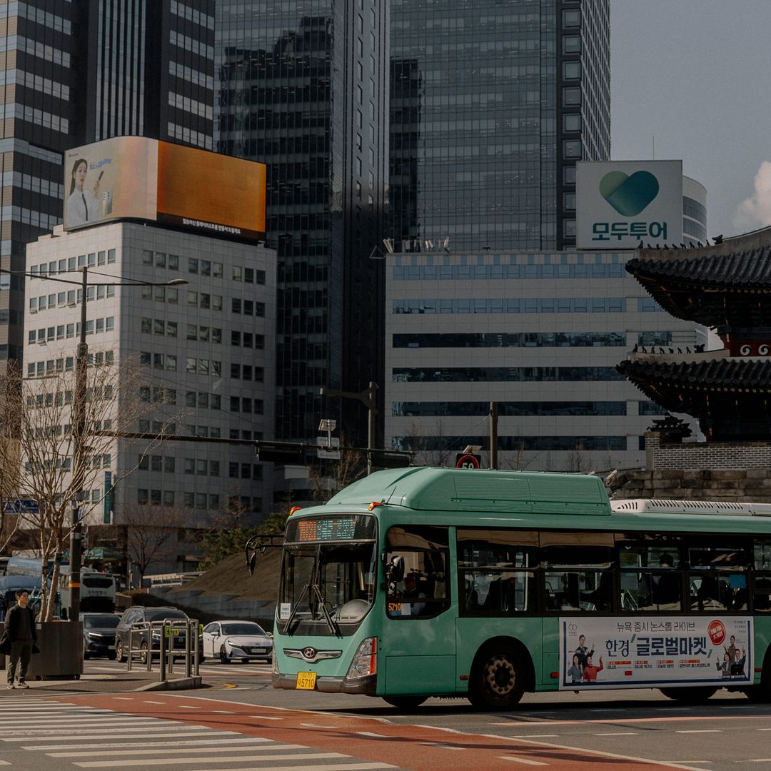
Designing a public transport based Seoul itinerary allows travelers to bypass traffic congestion while accessing major cultural landmarks via the city’s extensive subway and bus networks. The capital’s transit architecture is designed for high-frequency connectivity, making it the most reliable method for visitors to navigate between historic districts and modern commercial hubs. Efficient movement across the metropolitan area requires a foundational understanding of the T-money system (a rechargeable contactless smart card) or the short-term Climate Card (a pass offering unlimited transit access).
Transit Framework and Connectivity
Visitors prioritizing a public transport based Seoul itinerary should utilize the integrated fare system managed by the Seoul Metropolitan Government. Subway lines are color-coded and numbered, with station signage consistently provided in English, Korean, Japanese, and Chinese. Bus routes are similarly color-coded to denote their range: blue buses connect the inner city to suburban areas, while green buses facilitate transfers between subway stations and residential or commercial blocks.
| Transit Type | Primary Function | Operational Advantage |
|---|---|---|
| Subway | Cross-city transit | Predictable travel times and no traffic interference |
| Blue Bus | Inter-district travel | Comprehensive coverage of major arterial roads |
| Green Bus | Station feeder routes | Bridge the gap between subway hubs and local attractions |
| T-money/Climate Card | Unified payment | Seamless transfers within 30 minutes of exiting a vehicle |
Recommended Daily Navigation
A structured approach to exploration begins at the historic center. Travelers often start near Gyeongbokgung Palace, which is directly accessible via the subway station of the same name. Following a morning of historical discovery, a short bus ride or subway transfer connects visitors to the Bukchon Hanok Village. For those interested in Hiking, the northern districts provide immediate access to Bukhansan National Park, where trailhead transit stops are integrated into the standard fare structure.
The afternoon transition should move toward the Han River parks or the Gangnam commercial district. Using the subway Line 9 (express service) significantly reduces transit time between the eastern and western sections of the city. As the evening concludes, the Myeong-dong or Dongdaemun areas offer late-night access via the expanded night bus services, ensuring visitors remain mobile even after standard subway operating hours cease.
Logistics and Seasonal Considerations
Effective planning involves verifying Visa requirements and entry protocols before departure. When coordinating your Seoul travel, check the official Visit Korea KTO portal for real-time site closures, as palace grounds and museums often shift operating hours during public holidays or extreme weather events.
- System Maintenance: Station elevators and escalators are subject to periodic updates; refer to the Seoul Metropolitan Government official portal for accessibility alerts.
- Peak Hours: Avoiding the 08:00–09:00 and 18:00–19:00 rush hours is essential for a comfortable experience on lines 1, 2, and 5.
- Seasonal Foliage: During autumn, bus lines leading to major mountain parks increase in frequency to accommodate higher passenger volumes.
- Digital Integration: Ensure your smartphone supports NFC (Near Field Communication) if utilizing mobile transit applications for faster gate processing.
For comprehensive resources on planning your Korea Travel, prioritize tools that offer live bus tracking. These applications reflect the most current route data, minimizing wait times at outdoor stops during the winter or summer months. Always maintain a small balance on your transit card to cover unexpected transfers between different modes of transport.
자주 묻는 질문 (FAQ)
Can I use international credit cards for transit in Seoul?
While some newer turnstiles accept contactless credit cards, a T-money card remains the most reliable method for all bus and subway transfers.
How do I calculate the cost of a trip between districts?
Fares are based on distance traveled; the integrated system automatically calculates the cost when you tag your card upon entering and exiting.
Are there specific transit apps recommended for visitors?
Official city transit apps provide real-time bus arrivals and subway navigation, which are essential for navigating the complex Seoul network.
What happens if I miss the last subway train?
Seoul operates a network of night buses labeled with an “N” prefix that connect major tourist hubs after the subway closes.
Get in Touch
Have questions about your specific situation? Reach out anytime for a personal consultation.